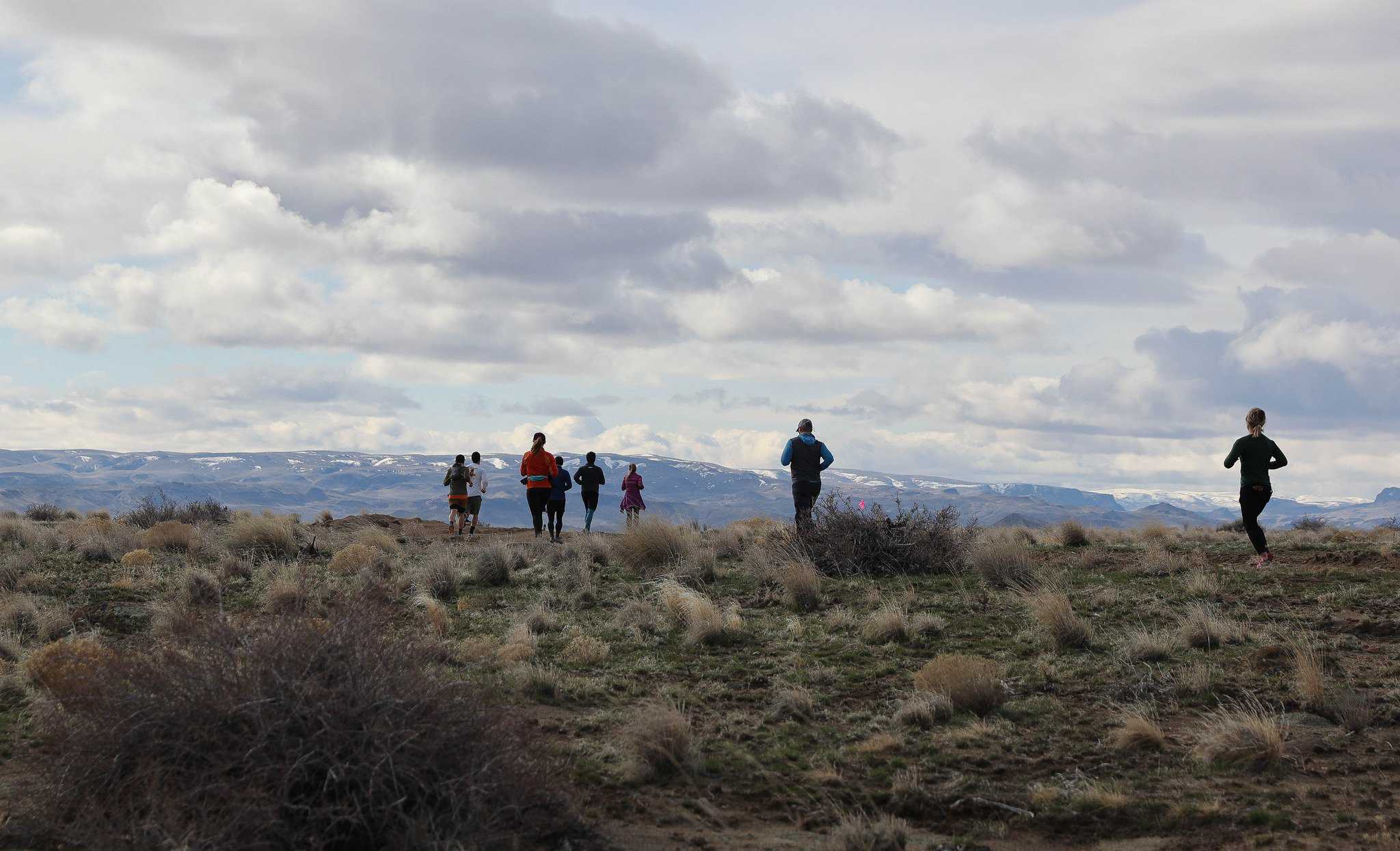
Half Marathon route:
From the park the route will take participants one mile south on pavement down Hwy 201, then will go Off-Road up into the hills, climbing over 700 feet to overlook the Snake River Valley. Mile three to four, runs out to the edge of Rimrock Butte for stunning panoramic-views of the Treasure Valley, before turning south, then looping across the ridge of the Owyhees, rewarding participants with fabulous views of the rugged Owyhee River Valley to the west. At mile 8.5, runners will face Swear Hill, a half mile stretch up an awesome sandy slope. Reaching the summit at mile 9, runners are rewarded with a gentle decline in elevation, and fabulous views for the next mile, which prepares them for the last climb at mile 10. From there it’s all down hill. Once again, runners are rewarded with tremendous views, this time of the patchwork beauty of the Treasure Valley farmland as they make their way back to the park.
Over 90 percent of the course is off pavement on dirt roads and trails. Easily, one of the most beautiful and challenging runs in the Treasure Valley!
View Route Details
Create routes or search for a route at MapMyRun.
Half Marathon Guide is the largest calendar and educational resource in the world for half marathon runners and enthusiasts with over 10,000,000 annual visitors.
Let others know what makes this race so special.
Lorem ipsum dolor sit amet, consectetur adipiscing elit. Ut elit tellus, luctus nec ullamcorper mattis, pulvinar dapibus leo.