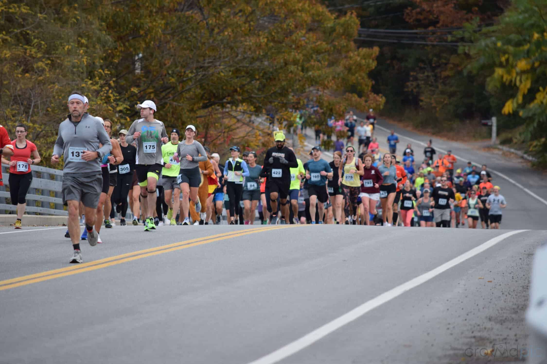
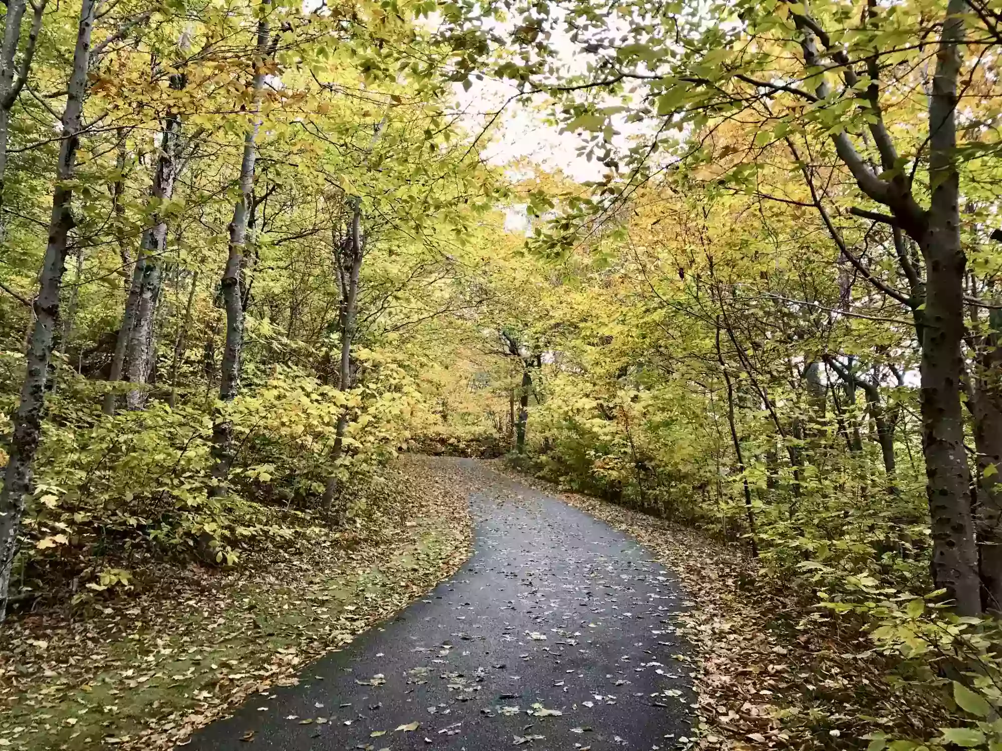
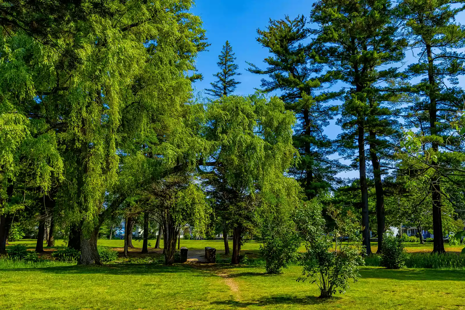
The Black Bear Half Marathon marks its late summer running along the rolling country roads around this resort town in northern New Hampshire, surrounded on all sides by the White Mountain National Forest, whose more than 700,000 acres are a popular golf, hiking and mountain biking destination in the summer and a skiing and snowboarding mecca in the winter.
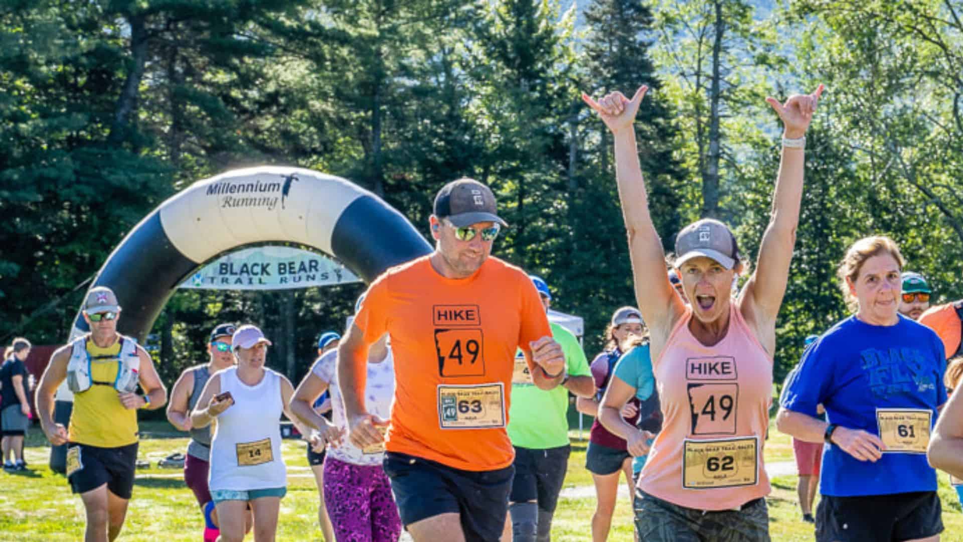
Black Bear Half Marathon & 5K
Home » Races » New Hampshire » Waterville Valley » Black Bear Half Marathon & 5K
Date
Aug 31, 2025
Starting Time
8:30 AM
Course
Road
Fees
$55+
Location
Waterville Valley
Participants
1-100
Terrain
Fast & Flat
Environment
Mountain Views
Temperature
High: 73°
/ Low: 51°
Overview
Course Description
Runners start the race near downtown Waterville Valley along Route 49, between the facilities for the White Mountain Athletic Club and nearby Packard’s Field, a wide-open multi-purpose green space that serves as the site of the town’s annual Curious George Cottage Family Festival. From there, runners head north along route 49 and loop around the edge of Cocoran’s Pond.
The next turn, a right, takes runners onto Boulder Path Road and through a golf course, where you’ll be able to see the tees, fairways and greens on either side of the road.
The course continues on past the tennis courts and then turns left onto Branch Road, where it takes runners through a residential area that later transitions to much more tree-covered stretch of the race, as runners turn off Branch Road and onto Tripoli Road between the first and second mile markers.
After passing the mile 2 marker — and after a stretch of the race that has been largely flat — runners then begin a stretch that will unfold mostly downhill for the next several miles, as Tripoli Road takes the field through the forest and crosses over the Mad River that winds through Waterville Valley, and then onto Valley Road.
Here, runners turn right and begin a long straightaway along Valley Road which will take them roughly in parallel with the river all the way down to the turnaround point between the mile 7 and 8 markers.
This stretch of the race includes some of its most gorgeous scenery, the race organizers say, as runners make their way alongside the river for the next 8 or so miles (four miles down to the turnaround, and four miles back).
As runners are heading northeast along Valley Road in the home stretch, they’ll keep going past Tripoli Road and head into Waterville Valley, where they’ll continue on past the starting line and finish the race in front of the conference center on Snow’s Brook Road.
One thing to note about the race map below, organizers add, is that the elevation profile can be a bit deceiving — there are more downhill than uphill stretches for this race, and the uphill sections follow a gradual incline from the turnaround point to the finish line, they add.
Past Results

