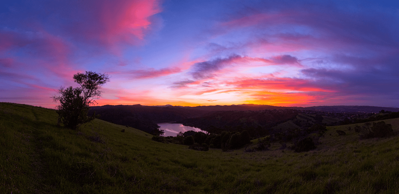
Set for its annual running this year along the same route used at the springtime Western Pacific Half Marathon, Fremont’s Quarry Turkey Half Marathon unfolds through the Quarry Lakes Regional Recreation Area here along the southern end of the San Francisco Bay Area, and takes runners mostly along trails through the park.
Runners start the out-and-back course for the race near the parking lot at the northeastern end of the park. From there, they’ll follow the trails that wind around the edges of the lakes, along mostly gravel trails and fire trails through Quarry Lakes