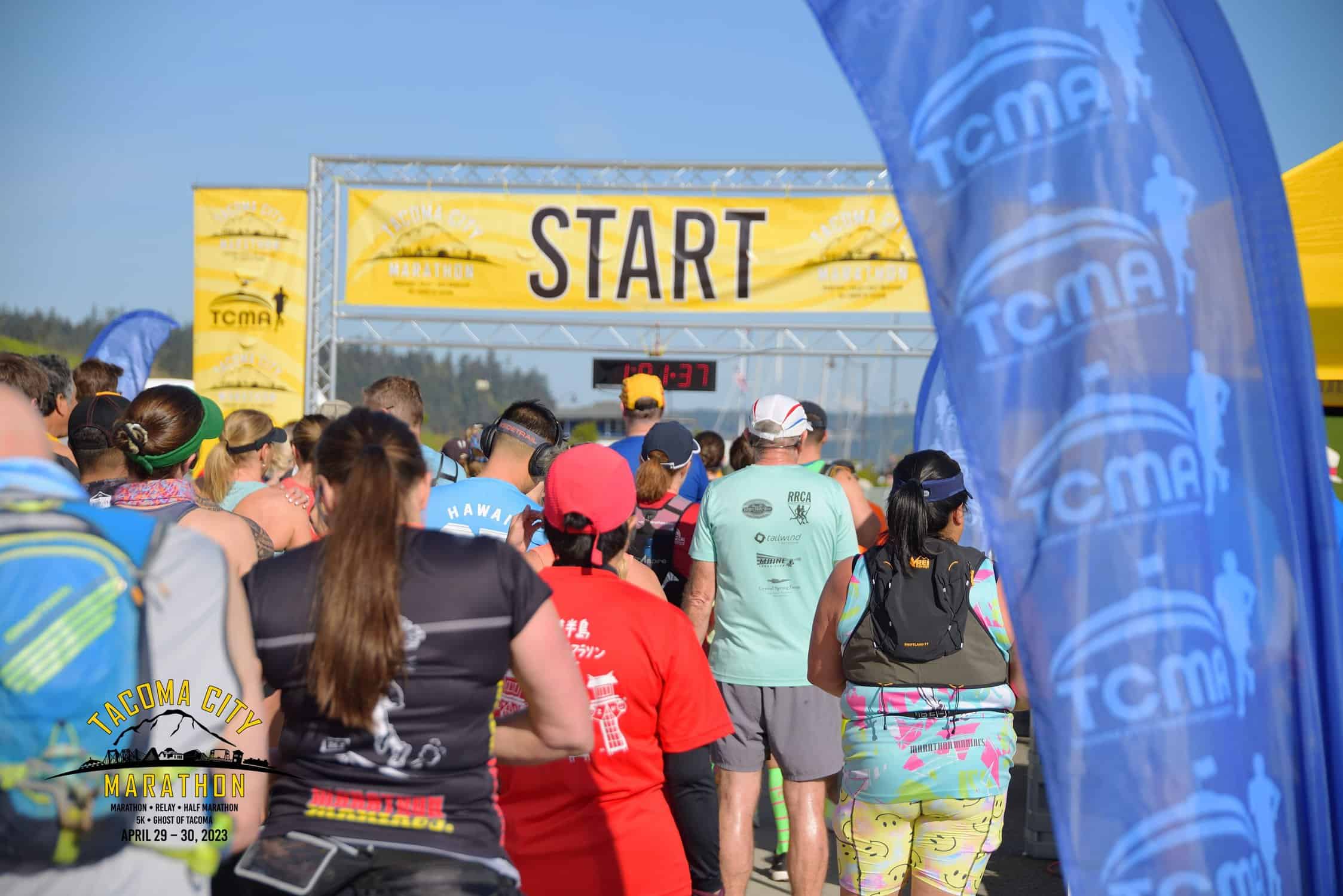
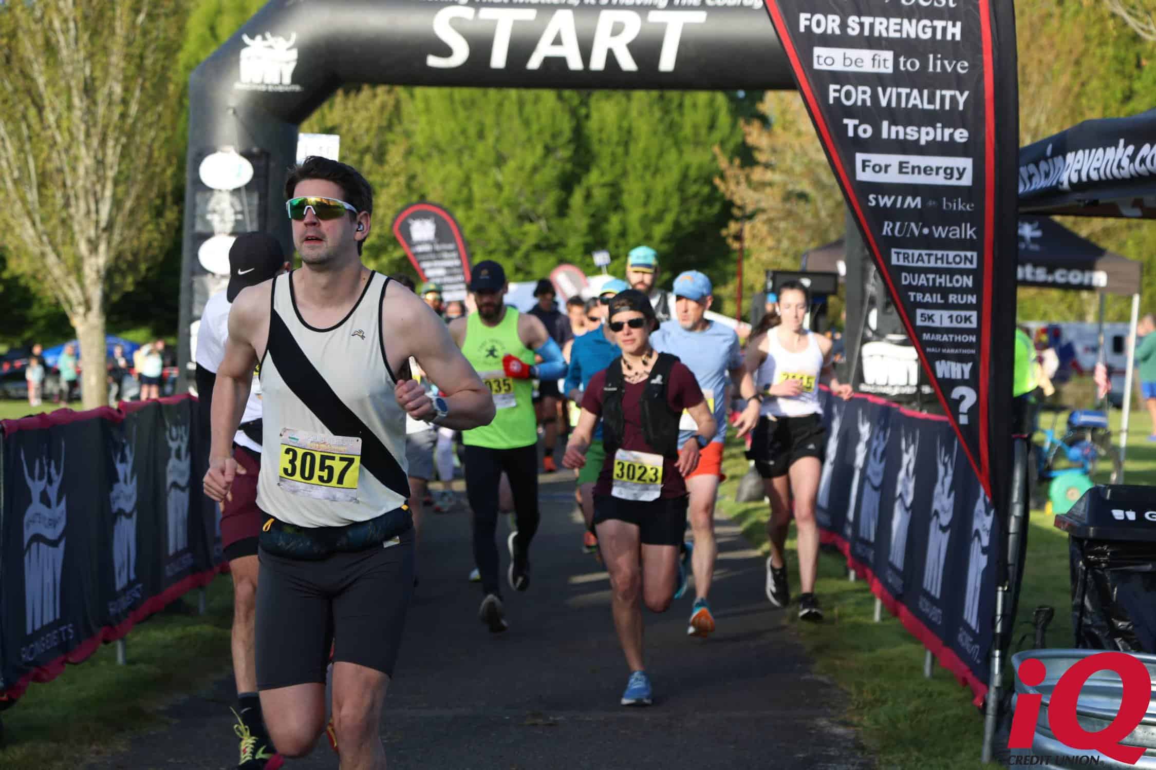
From the starting line on the outskirts of Spokane’s Riveront Park, near the River Square Mall, runners head west on Spokane Falls Boulevard, staying with the road as it becomes Riverside Avenue. The route makes a few turns through these downtown city streets, passing by Coeur D’Alene Park on the way toward West Sunset Boulevard, through the historic Browne’s Addition district and up toward High Bridge Park.
This section of the race, which takes runners northward along Government Way through Riverside Memorial Park, is identical to a portion of the course used in Spokane’s annual Lilac Bloomsday Run 12K race.
After running through the memorial park and past Mount Nebo Cemetery, runners keep heading northward toward the river and join up with a roughly mile-long stretch of the Centennial Trail, which includes some steep but short hills. Runners then get a break for the rest of the trail, with a gradual downhill that features tall trees on either side and scenic views of the river flowing at the end of the trail.
The course then flattens out for a bit as it winds along the river, taking runners eastward toward the river and past the campus of Spokane Falls Community College on the way to the bridge crossing at the T.J. Meenach Bridge.
Once they’re over the bridge, runners hit perhaps the toughest climb of the race around the nine-mile point at the famed “Doomsday Hill.” The terrain thankfully evens out after that, taking the field along Pettet Drive and Point Road high above the river, winding around the bend in the river back toward Riverfront Park.
There’s a final brief uphill on Lincoln Street and then the course flattens out again as it enters the park, taking runners across one last bridge and finishing up in front of the park’s Rotary Fountain.